×

IPERA

Rich Maps & Wayfinding

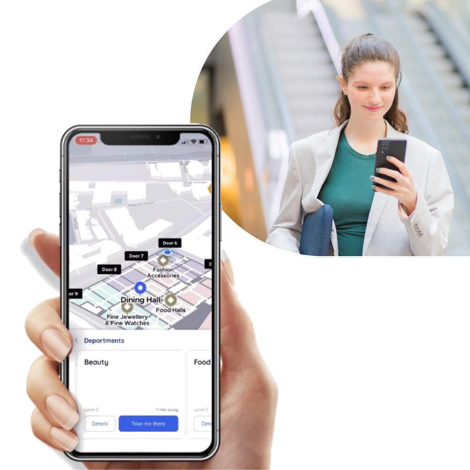
A smarter way to navigate across indoor locations!IPERA Indoor Wayfinding is designed to provide seamless navigation for customer experience within any indoor space, offering real-time, interactive maps and directions.

Learn More Speak to our Experts

Empowering thousands of businesses globally

Create exceptional indoor experiences for your customers

Rich Maps & Wayfinding
Indoor Mapping
BlueDot Positioning
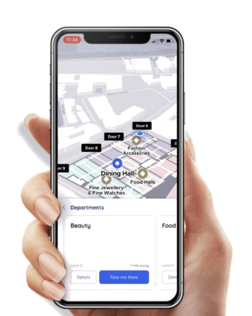
Our Rich Maps & Wayfinding feature provides interactive, dynamic navigation with 2D/3D maps, geofencing, enhancing user experience and optimizing space utilization.

Track unique user count, session count, and preferred languages to understand visitor engagement with the platform.

Monitor time spent on map interactions, such as zooming, panning, and quick access functionality usage.

Analyze successful and unsuccessful search queries to refine search results and enhance user experience.

Identify which points of interest (POIs) are highlighted, their discovery method, and user interaction locations.

IPERA

Indoor Mapping & Wayfinding

  • Provide real-time interactive maps to enhance visitor experiences
  • Help users find points of interest effortlessly with detailed, intuitive maps
  • No app needed – access instantly via a QR code or web link
  • Streamline the flow in large facilities with precise wayfinding
  • Reduce lost time and improve overall satisfaction in hospitals, malls, or campuses
  • Tailored maps that adapt to your facility’s unique structure

Book A Demo

Key Features

Pointr 3D Maps
Content Management System
Geofencing
Quick Set-Up
Indoor Location
Intuitive Wayfinding
Pointr Map Scale®
Offline Operation
Reliability & Accuracy
Device Agnostic
Seamless Transitions
No App Required

What We Do

Indoor Wayfinding

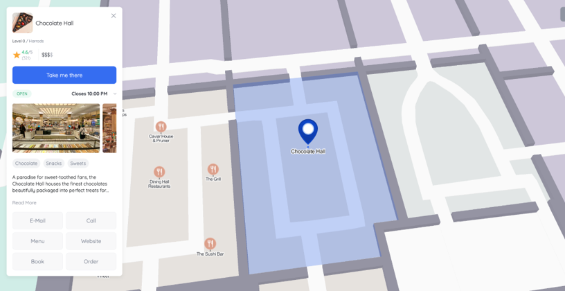
Just like Google Maps is your go-to for finding restaurants, users crave a map-first experience when navigating any building - retail stores, workplaces, events or hospitals.

Speak to our Expert
Frequently Asked Question (FAQs)

IPera Mapping & Wayfinding solution is versatile and can be used in various industries such as healthcare, retail, airports, museums, universities, and more.

No, users can access our maps instantly via a QR code or a link, without the need for app downloads.

Yes, our solution is fully customizable, allowing you to tailor maps to your facility’s specific needs, including custom categories, POIs, icons, and wayfinding routes.

Our maps are device-agnostic and can be accessed on iOS, Android, web browsers, kiosks, and even offer offline functionality for mobile devices.

Our platform are highly accurate thanks to our AI-powered MapScale® tool. You can easily update POI details, routes, and map features.

Yes, we support multiple languages to ensure a smooth navigation experience for users across the globe.

All search results, including unsuccessful attempts, are captured by our analytics platform for continuous improvement and optimization.

Absolutely, you can create a single interactive map for large venues with multiple buildings, floors, and outdoor spaces.

Yes, our maps offer full offline functionality for mobile devices, ensuring that users can navigate even without internet access.

If you have any other questions or need more information about our products and services, please feel free to contact us at sales@ipera.ai.